The Main Map View is displayed when Bit Map starts up. It shows a full-screen map that consists of all the current map layers that are visible (not hidden).
A summary of all the tools on this view is available on the Quick Reference Guide page.
Contents
On this page:
- Interacting with the Map View
- Show/Hide Toolbars
- Zoom the Map In/Out
- Pan (Scroll) the Map
- Centre the Map on Current Location
- Change the Location Mode
- Change the Symbology Scale
- Location Information Panel
- Share Map, Track(s) or Waypoint(s)
- Scale Bar
On separate pages:
- Search
- Record Tracks and Waypoints
- Add Feature
- Modify Features
- Navigate Route to Map Point
- Download Online Layer (for Offline Use)
Interacting with the Map View
Show/Hide Toolbars
- Tap on the map once
- Tap at a map location where there are no features other than the basemap
Tapping on a point, line or polygon feature will not show/hide the toolbars, but instead it will select the feature and enter feature modification mode.
Zoom the Map In/Out
- Pinch the map with two fingers
Pan (Scroll) the Map
- Drag the map with one finger, or with two fingers to pan and zoom at the same time
Centre the Map on Current Location
- Tap the Centre Map on Current Location button
This will not work at times where the current location is not available (eg, Location Services are disabled in the Settings app, or Satellite reception is obstructed by buildings). The accuracy of the location can be checked by showing the Location Information Panel (see below).
This button is only available when the Location Mode is set to ‘Display Location’ (see below). It will be greyed out and unavailable for the other Location Mode settings.
Change the Location Mode
- Tap the Location Mode button
- Select the desired location mode:
- Display Location – the location is displayed on the map
- Keep Centred on Location – the map will automatically pan when the location changes to keep the location centred on the map
- Rotate Map to Heading – the map will keep the location centred AND will rotate as the device moves so that that the map orientation matches the real world
- No Location Display – the location will not be displayed on the map
Change the Symbology Scale
- Tap the Change Symbology Scale button (top toolbar) to toggle between three symbology scale factors (described below)
The title of the button will change to indicate the current symbology scale factor
- x0.5 – symbol sizes are halved and raster resolution is doubled (clearer raster images, but smaller map features)
- x1 – default and natural size for rasters and symbols
- x2 – symbol sizes are doubled and raster resolution is halved (less clear raster images, but larger map features)
Location Information Panel
To show/hide information about the current location data:
- Tap the ‘i’ info panel button
The info panel includes:
- current coordinates, including horizontal accuracy
- using the Spatial Reference System configured for tracking – change the SRS in Settings
- current altitude, including vertical accuracy
- speed
Share Map, Track(s) or (Waypoints)
The share/action button on the map view can be used to quickly share, copy or save either:
-
- The current map view as an image (including any info panels currently displayed, excluding toolbars)
- The last track line
- All track lines
- The last waypoint
- All waypoints
NB: To share other tracks, waypoints, layers or features, use the share button for a layer or feature in the Offline Layers Directory.
- Tap the Share action button
- Select which type of item is to be shared
- The options for tracks or waypoints will not appear if there are no tracks or waypoints in the Tracks data store.
- For tracks or waypoints only, select whether to share the last track/waypoint or all tracks/waypoints
- If there is only one track/waypoint in the Tracks data store, this option will not appear
- Select the method of sharing from the share panel that appears
- Eg, copy, save, email, message, AirDrop
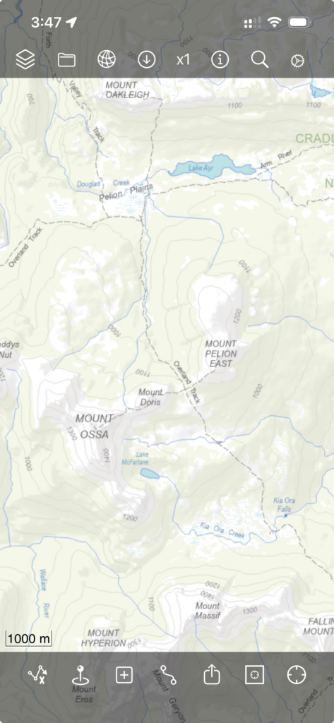
Scale Bar
A scale bar is displayed in the bottom left corner of the map view. The scale bar changes its width and label dynamically as the map is zoomed in/out.